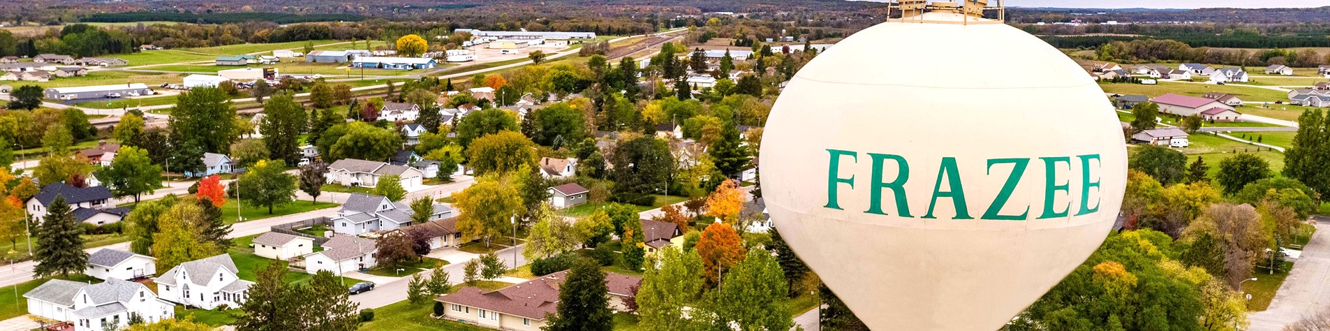
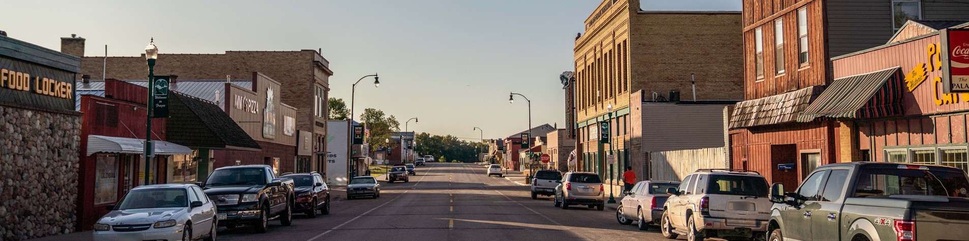
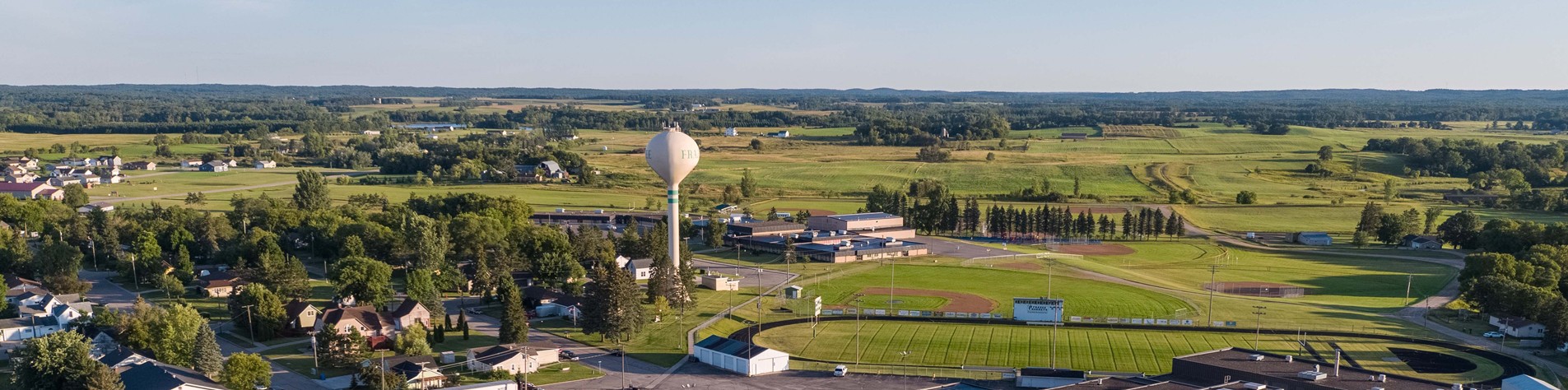
Frazee, Minnesota - The Best of the Lake Country!
The City of Frazee, Minnesota offers the best of Minnesota living. Located right off of Highway 10 and in the heart of the Minnesota lake country, our city is more than just a "stop", its a "destination". Our city boasts a great community in a location surrounded by beauty and opportunities. With plenty of fun recreational activities to do in the area, competitive home pricing and more, isn't it time to "Come Home" to Frazee?
Read More
Jun 02, 2026

May 27, 2026

May 14, 2026

May 07, 2026
Stay informed on local and community functions happening in Frazee, MN...
Find out what's going on in the community and meet some of your neighb...
Contact information for US Senators and US Representatives from the St...